A changing hydrological regime is of chief importance to
human societies. Unstable global hydrological cycles can influence food
production, settlement location, disease transportation, ecosystem services,
and, fundamentally, lifestyles. A shift in one direction of the continuum from
arid lands to a moist environment is perhaps one of the most striking
consequences of a changing climate. Throughout the Holocene we have seen
hydrological changes across the globe. In low latitudes there was a tendency
for low latitude regions to experience a drier system from the mid-Holocene
onwards, with a weakening of summer monsoon systems (Oldfield, 2005). Of
course, temperature plays a key role in regulating moisture regimes. There is
significant evidence from a variety of sources including pollen and
fossil-based evidence from lakes, faunal distribution, and archaeological
records that these changes even influenced the Sahara desert (deMenocal andTierney, 2012). Check out these snap shots that summarise some of the evidence
and changes observed in this region through the Holocene. The Sahara was ‘well
vegetated with widespread freshwater lakes and abundant water-loving
animals.... and extensively settled by human populations’:


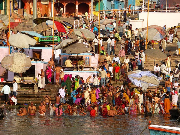
At the present day environmental managers, government
advisors and scientists need to understand exactly how river systems will
respond to a changing climate. Many of the world’s major cities have been built
around river systems that will be subject to change and could threaten normal
activities associated in the region. For many people, the river is still one of
the most important natural resources for harvesting food, transportation, water
resources and many other things.
Whilst climate change may threaten shifts in the
hydrological regime, morphological alterations are just as important. A
changing climate will have implications for sedimentation, erosion and other
river processes. Macklin and Lewin (2003) present an 11.5 ka yr record of river
response to climate change for the UK. The results are based on radiocarbon
dated alluvial units up to 2002, separated by alluvial environment – channel
deposits, fills in abandoned channels, floodplain surfaces and flood basins. 14
major flood episodes spanning ~10 ka yr were identified:

Having identified these episodes, there were compared
to proxy climate record from Britain, Europe and North America:

The authors state that ‘the emerging evidence for an increase in the frequency of severe floods in major world rivers during the twentieth century is therefore entirely consistent with the Holocene fluvial sedimentary record where river systems appear to reflect global climate changes. The unusually long and complete British record also demonstrates that changes in land cover, principally the conversion of woodland to agricultural grassland, have resulted in a step change in river basin sensitivity to variations in climate. Such sensitivity might otherwise be absent from humid temperate environments. This has very important implications for assessing and mitigating the impact of increasing severe flooding. In small and medium sized river basins land use is likely to play a key role in either moderating or amplifying the climatic signal. In Britain river basin managers and planners now have the advantage of hindsight provided by the Holocene alluvial record and can hopefully avoid mistakes made by their prehistoric farming ancestors.’
No comments:
Post a Comment